Timpooneke to Chris Flat and Back
Written by Bruce R. Copeland on June 17, 2019
Tags: great western trail, single-track, snow, timpanogos, trails, ultrarunning
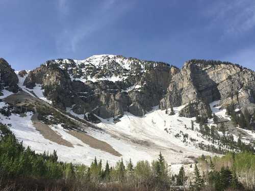
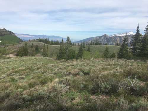
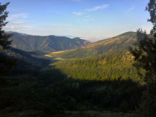
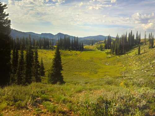
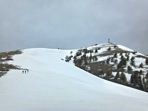
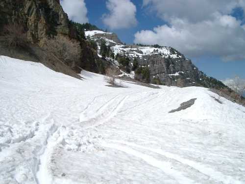
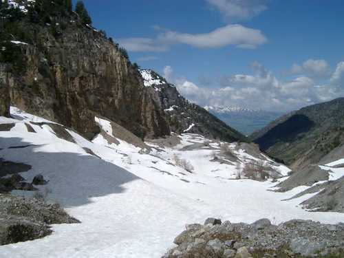
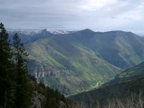
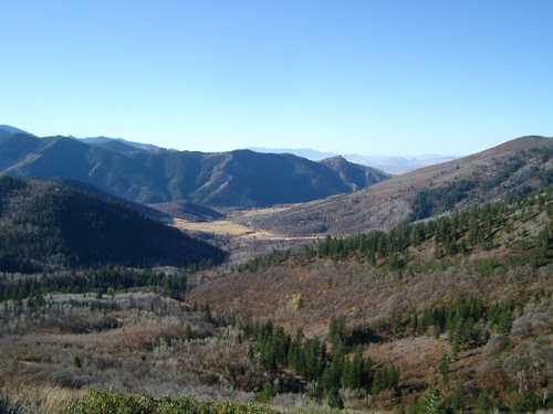
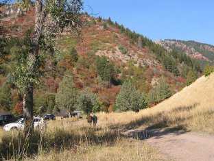
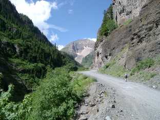
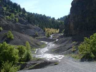
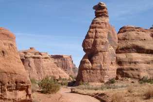
Saturday it was time to run the trail from Timpooneke Trailhead to Chris Flat on the north and west of Mount Timpanogos (an 18 mile out-and-back). This section is actually mile 10 to 19 of a 50 K route which circumnavigates most of Mount Timpanogos from Vivian Park in Provo Canyon to Sundance. In fact years ago that 50 K route was my very first ultra distance. I’ve run the route a number of times since, but logistics for the full 50 K route are somewhat difficult.
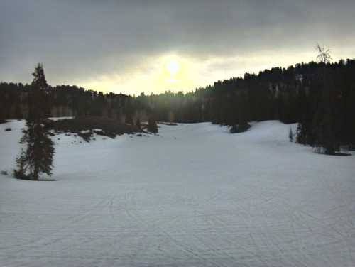
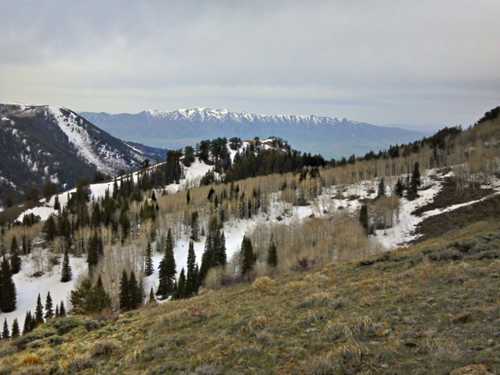
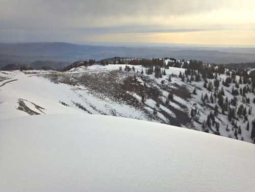
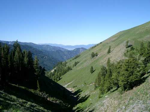
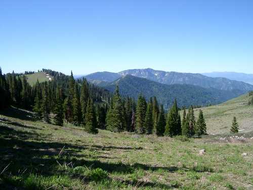
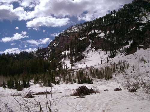
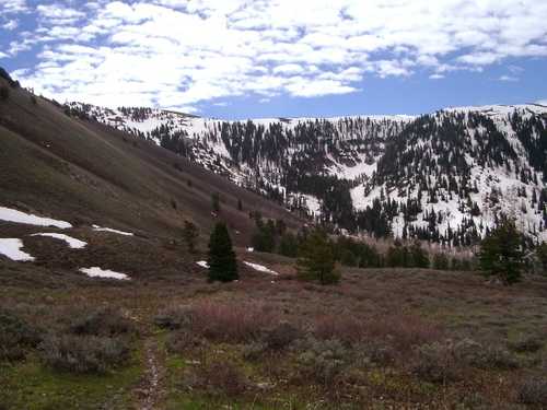
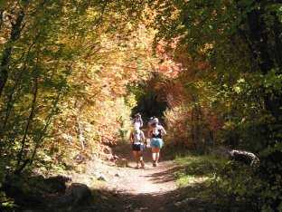
Fifteen or twenty years ago this particular portion of trail was really hard to follow. Now it is pretty well marked. There are a few junctions and three Forest Service road crossings. Simply follow the markers for FS 151 to Chris Flat. This is a rough trail — part of the Great Western Trail which doesn’t get enough use. It climbs from 7300 ft at Timpooneke Trailhead to 8700 feet on the northwest shoulder of Mount Timpanogos, then descends to 7500 at the southern edge of Chris Flat. The section from Timpooneke to the shoulder is a forest trail. The section from the shoulder out onto Chris Flat is mostly open terrain.
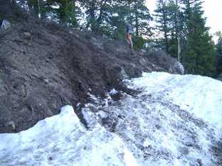
This year I expected lots of snow and deadfall. Surprisingly there was not too much deadfall; the worst was actually the 0.5 mile portion of trail closest to the trailhead. There was however
Shorty’s Cutoff
Written by Bruce R. Copeland on June 15, 2015
Tags: bear 100, jeep trail, single-track, trails, ultrarunning
Shorty’s Cutoff is a great section of trail that doesn’t get enough use by trail runners. The southern part of Shorty’s connects White Pine Creek trail to Steam Mill Hollow, and the northern part extends from Steam Mill Hollow to Steep Hollow. This northern section is also mile 64 to 67 of the Bear 100, but hardly any Bear 100 runners ever see it in daylight.
Yesterday my dog and I started at the Tony Grove backcountry trailhead and ran to White Pine lake, where we picked up the White Pine Creek trail east. About a mile after turning onto White Pine Creek trail, the trail crosses White Pine creek. Below the crossing, the trail continues east about 3/4 mile down a big open meadow. I find the easiest way to get to Shorty’s is to bushwack north across the creek at the base of this meadow. You quickly see a trail north of the creek, and you can follow this trail west (upstream) for about 1/3 mile to Shorty’s Cutoff. This first part of Shorty’s is narrow and rocky (needs more use) and climbs fairly steeply to a pass between the White Pine creek and Steam Mill creek drainages. The trail from the pass down to Steam Mill creek is wider and can be a lot of fun
Trail Conditions for the 2015 Logan Peak Trail Run
Written by Bruce R. Copeland on June 09, 2015
Tags: jeep trail, logan peak, races, snow, syncline trail, trails, ultrarunning
It has been a strange year for weather in the high country—very warm, dry Winter and very wet Spring. Over the last few weekends, I’ve been up on different parts of the course for the Logan Peak Trail Run.
Most of the trail is in pretty good shape. Last weekend I cut out a number of downed trees on the N. Syncline portion of the trail. (Three downed fir trees of moderate size still remain.) The S. Syncline had a lot of late snow. The snow has mostly melted by now, and there was only one significant downed tree. The Providence Canyon jeep trail also had a lot of residual
2008 Gary Fisher Cronus/Wahoo Build—not your father’s hardtail!!!
Written by Bruce R. Copeland on March 23, 2014
Tags: cycling, gary fisher, leadville 100, mountain bike, training, vuelta
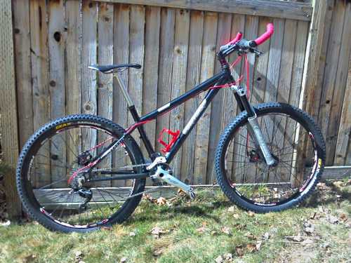
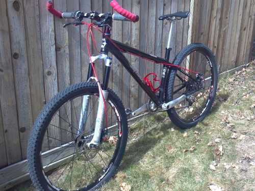
In recent years, I’ve found I can’t routinely run four or five days a week the way I once did. My solution has been to start riding a mountain bike for some of my training. So this past Fall, it was time to build a new mountain bike. Much of the mountain biking world is switching to 29 inch wheels and full-suspension frames. I’m sure I would want a 29er if I were planning to do something like the Leadville 100 bike race, but for now I wanted something really fun—something that would motivate me to get out and ride hard and long. A lightweight 26er hardtail seemed like just the prescription.
On the Old Bear 100 Course
Written by Bruce R. Copeland on July 30, 2012
Tags: atv overuse, bear 100, bloomington lakes, german dugway, highline trail, paris canyon, ridge running, single-track, trails
One of my favorite stretches from the old Bear 100 course is the Highline trail between Danish Pass and Paris Canyon. It’s been several years since I last ran this, and lately several of us have been saying how much we wanted to go back and run part(s) of the Old Bear.
So yesterday morning, Milada and I drove up to the base of German Dugway bright and early. Temperatures were fairly cool starting out, but predicted to be in the 90s by mid-day. We climbed the 3 miles up German Dugway to the top of Paris Canyon in early morning light (great vistas). We then headed south on the Highline trail.
The scenery along the Highline trail is always spectacular
Preview of the 2012 Logan Peak Trail Run (Finding Tools with Caballo Blanco)
Written by Bruce R. Copeland on May 05, 2012
Tags: flint knife, logan peak, races, ridge running, single-track, snow, syncline trail, trails
Yesterday morning it was again time for our annual snow trek to Logan Peak. Participants were Scott Datwyler, Ryan Dunkley, Dan Judd, Tyler Shurtleff, and myself. I suggested we run this year in memory of Micah True (aka Caballo Blanco) who passed away while trail running in the Gila Mountain Wilderness a month ago. Many of you will remember Caballo Blanco as the elusive, gringo trail runner of the Mexican Copper Canyon area in Chris McDougall’s bestseller “Born to Run”.
In past years we’ve usually started at the top of the Providence quarry. This year because of the washed out upper Providence Canyon road, we had to start on the new Providence Canyon singletrack trail about a mile below the base of the quarry. When we began running at 5:45 AM, temps were in the low 40s with a low cloud ceiling and a pronounced southerly wind. Conditions improved as the morning wore on.
As we climbed up the canyon above the quarry, we eventually hit snow at about the same point we do every year (this year, however, we went as much as a month earlier than usual). In protected areas, there is still quite a bit of snow, but snow levels are low to nonexistent in very open areas or areas with pronounced southern exposure. Once we hit the main peak ridge, there was good packed snow for runnng, and we only occasionally broke through. At Logan Peak, views were spectacular as usual, but there was a VERY bitter wind.
Descending west from Logan Peak along the ridge to Little Baldy and below, the snow was pretty good
Autumn in Green Canyon
Written by Bruce R. Copeland on October 23, 2011
Tags: beirdneau, green canyon, hunting, mount elmer, ridge running, snow, trails, ultrarunning
Of all the runs and races I didn’t get to do this summer, there was none I missed more than the Green Canyon Beirdneau Ridge loop. So with the warm temperatures and very late Fall we are having, Friday seemed like an opportune time to try Green Canyon. The elk hunt had ended on Wednesday, and the regular season deer hunt wouldn’t start until Saturday. I didn’t think snow would be a problem because I had been up at 9000 feet on the Highline trail the previous weekend and encountered only 6 inches or so of snow in very protected locations.
I arrived at the lower King’s Park trailhead with my dog at 10 AM (a later start so that temperatures could warm some). I was able to run almost all the singletrack up to the Green Canyon backcountry trailhead (I must be finally getting my uphill running strength back). Even with our late start, we were able to get on the upper Green Canyon trail well before the hunters packing in early for the deer hunt. At 11 AM, most of the meadow was still heavily frosted, but air temperatures were rising quickly as the sun crested over the ridge. The lighting made the fall colors spectacular, and I stopped to shoot several pictures.
We quickly ascended to the upper spring, and then
That Awful “Snap”: Recovering from a Broken Ankle
Written by Bruce R. Copeland on October 15, 2011
Tags: broken ankle, cycling, fibula, fracture, nutrition, orif, orthopedic, power hiking, running, swimming, trekking poles
Some of you know I was out of commission most of this past summer after breaking my ankle on Memorial Day weekend. It has taken until now to pretty much fully recover.
This all began on a drizzly morning trail run. I had been out for about an hour and was feeling pretty good when I arrived at the wooden foot bridge over the creek in Draper Corner Canyon. This is one of those curved, wooden, Japanese-style bridges. I’ve been across it dozens of times in the past. Yes it can be treacherous on a frosty morning, but temperatures were in the high 30’s. I didn’t give it a second thought. I ran to the crest of the bridge and took one more step, at which point both my feet shot out from underneath me, and I was sliding down the bridge on my back. At the base of the bridge there is a slight lip. My left foot caught the lip, and as the leg buckled under I heard that awful “snap”. After 10 or 20 seconds of intense pain and nausea, I cautiously got up on my uninjured leg and began to test a little weight on the injured leg. Initially the foot on the injured leg was canted to the side at an odd angle. However, as soon as I put weight on the foot, I felt the ankle rotate back into correct position, and the ankle was stable again. I was about 1/4 mile from a trailhead, so I called my wife and some friends to come meet me, and I hobbled to the trailhead.
A trip to the ER and some X-rays confirmed what I had known all along. My ankle was broken. The break involved
Early Course Conditions for the 2011 Logan Peak Trail Run
Written by Bruce R. Copeland on May 22, 2011
Tags: jeep trail, logan peak, races, single-track, snow, syncline trail, trails, ultrarunning
Yesterday morning I decided it was time to get out and assess conditions on at least part of the course for the Logan Peak Trail Run. In any normal year, Scott Datwyler and I would have already been to Logan Peak by now. But with much larger than normal amounts of precipitation and average temperatures 10-15 degrees below normal, this is no normal year. I took one of my sled dogs and headed for Providence Canyon.
We ran up the canyon road for a mile or so, then forded the creek and picked up the new Providence Canyon single-track trail. I moved a few tree limbs off the trail here and there, but the new trail is in surprisingly good condition for this early in the season. The only part of it that needs work is the quarter-mile section above the old shooting range (roughly 2 miles up the canyon). In this section, the new trail becomes indistinct amongst the many old jeep trails and the many new ATV tracks and cow paths.
The Providence Canyon single-track joins the Providence Canyon road about a quarter mile below the old Providence quarry. As we neared this point, I was already beginning to see large patches of snow extending almost down to the road along the south slope of the canyon. The road itsef was clear to the base of the quarry. Beyond this point a steep, loose-gravel, jeep trail climbs to the quarry. Three quarters of this jeep trail was snow-covered, and I watched as a large 4WD pickup truck lost traction 50 yards onto the snow. The quarry itself was substantially snow covered, and everything above the quarry (including the Providence Canyon jeep trail) was fully snow covered.
At the quarry (6700 ft.), I stopped to get out trekking poles, Yaktrax, and nordic ski gaiters. I also switched from a short sleeve shirt to
Energy Gel Packets—A Pocket Full of Goo?
Written by Bruce R. Copeland on July 29, 2010
Tags: carbohydrate, cycling, electrolytes, endurance, energy gel, nutrition, running
Today I experienced my fourth leaking energy gel packet in as many months. I’ve had it!!! Three different manufacturers: PowerBar, GU, and Hammer Nutrition. In every case the gel packet was not punctured; instead it was leaking from a seam in the packet or a crease where the packet was folded.
For years energy gels have been substantially overpriced—somewhere between eight and ten times the cost of the gel ingredients. Manufacturers have mostly justified these high prices on the basis of the packaging. That was fine as long as the packaging worked. I’ve been using gels for over seven years, and my handling of gel packets hasn’t changed. If anything my usage of gel packets has declined over time. So why all of a sudden are so many gel packets leaking?
Starting today, I refuse to put up with it anymore. We now have lots of options when it comes to getting carbohydrates and electrolytes for endurance running, cycling, etc. Gel manufacturers can either start producing bullet-proof gel packages, offer a money-back guarantee, or deal with lots of very negative publicity and loss of business
Running the Green Canyon, Mt. Elmer, Beirdneau High Country
Written by Bruce R. Copeland on July 06, 2010
Tags: beirdneau, elevation, green canyon, mount elmer, single-track, trails, ultrarunning, wilderness
One of my absolute favorite early summer runs is the roughly 25 mile partial loop route that goes up Green Canyon, over to Mt. Elmer, back along Beirdneau ridge, down the Preston Valley Trail, and back to the mouth of Green Canyon. Now that my duties as co-race director for the Logan Peak Trail Run are largely completed for 2010, yesterday it was time to to go see Elmer.
In the past few years, cyclists, ultrarunners, hikers, YCC members, and forest service trail crews have constructed single-track trail segments that parallel the main forest service road up Green Canyon. It is now possible to travel to the top of Green Canyon almost entirely on single-track trail with only a few hundred yards required on the forest service road. The lower part of Green Canyon is entirely runnable, climbing only 1600 feet in about 5.5 miles to the Wilderness boundary. From there to the top of Green Canyon, the trail becomes much rockier and climbs an additional 2100 feet in a little less than three miles
Course Conditions for the Logan Peak Trail Run
Written by Bruce R. Copeland on June 07, 2010
Tags: aid station, course marking, jeep trail, logan peak, races, snow, trails, ultrarunning
A month ago, snow levels were below normal in the northern Utah high country. This weekend, Kelly Bradbury, Lynn Hulme, and I ran the last 9 miles of the Logan Peak Trail Run course. The previous weekend I had run the first 11 miles of the course. In many places there is a great deal of snow! Clearly several spring storms and much colder than normal temperatures have left the course with substantially more snow than typical for early June.
In Logan Dry Canyon, there is little snow until the location of Aid Station #1. From that point all along the south slope of Dry Canyon, snow is significant. I did not flag any of the course there, but runners/hikers should have no difficulty following my footsteps. Along the exposed west flank of Little Baldy and along the western part of the Welches Flat jeep trail in Providence Canyon, there is little snow. However, the eastern part of the Welches Flat jeep trail and the Providence Canyon jeep trail both have much snow—enough to make route-finding a challenge.
North of Logan Dry Canyon, there is quite a bit of snow. We lightly flagged the course going in the reverse direction from Aid Station #1 to about mile 19 on the course. East of that point, the course was effectivelly impassable due to extensive but very soft snow. Runners who wish to preview
Wilderness and Ultrarunning: The Great Divide
Written by Bruce R. Copeland on May 23, 2010
Tags: commercial services, hardrock 100, hunting, management plans, mining, races, trail maintenance, trails, ultrarunning, western states 100, wilderness
With more and more ultramarathon races filling early and with this year’s prominent closure or rerouting of several races held on public land, it is time for us to re-evaluate the relationship between ultrarunning and Wilderness.
Like many ultrarunners I am a strong supporter of wilderness (with a little w). Originally I began running long distances on trails as a way to experience spectacular regions of backcountry and wilderness without having to commit large amounts of time and resources (e.g. backpacking). I suspect many other ultrarunners are the same. Over time I discovered that 50 and 100 mile races made this even easier by safely eliminating the need for extensive route logistics and time-consuming caching of food/water/supplies.
There is typically no problem with non-competitive ultrarunning in National Wilderness, and many of us cherish the time we spend running in National Wilderness areas. I will certainly never forget running rim-to-rim-to-rim in the Grand Canyon or running to Indian Pass and back in the Wind River Range or even my many trips across the Mount Naomi Wilderness (though I sometimes question the wisdom in creating a “Wilderness area” that can be crossed in 2.5 hours). I’m sure many other ultrarunners have similar cherished memories of Wilderness trips.
There has however always been a shaky relationship between ultrarunning races and Wilderness (big W). There are widespread misconceptions
Pinole: Eat Like a Tarahumara Runner
Written by Bruce R. Copeland on December 11, 2009
Tags: blood sugar, calories, carbohydrate, corn meal, distance running, energy, honey, nutrition, pinole, tarahumara, ultrarunning
The breakout bestseller “Born to Run” by Christopher McDougall has stimulated a number of recent ultrarunning blog articles extolling the biomechanical virtues of Tarahumara (Raramuri) Indian running style (see e.g. Proper Running Technique Can Improve Performance, and Elements of the Perfect Trail Running Shoe). But the Tarahumara Indian approach to eating on the run is equally intriguing. These runners use pinole (a form of corn meal) as a primary energy source when distance running. Interestingly American Indians and 18th and 19th century Mountain Men (all known to rapidly cover long distances on foot) also often subsisted on pinole supplemented with pemmican or jerky. For a couple months now, I’ve been experimenting with pinole as my carbohydrate energy source on longer runs. For me, pinole seems to work every bit as well as—maybe better than—gel.
Pinole is easy to prepare. Preheat an oven to 400 degrees F. In a mixing bowl, blend 2 cups corn meal, 1/3 cup honey, 0.5 teaspoon lite salt, and 0.25 teaspoon table salt. Spread the mixture uniformly on a cookie sheet (with sides) and bake for about 15 – 20 minutes until medium golden. About every 5 minutes, you will need to use a spatula to mix (breaking up any big lumps that remain) and spread the pinole on the cookie sheet. This keeps it from getting too browned, and the corn meal mixes more easily with the honey as it gets hot. When the pinole is medium golden, remove the cookie sheet from the oven and let cool. Store the pinole in a closed container at room temperature.
Corn meal contains about 160 calories per ounce by weight. So in energy terms, pinole is pretty much a direct replacement for gel
Elements of the Perfect Trail Running Shoe
Written by Bruce R. Copeland on November 16, 2009
Tags: biomechanics, forefoot, gaiter, heel, pronation, running, shoes, tarahumara, ultrarunning
For years I’ve been deeply dissatisfied with most available trail running shoes. Several weeks ago, I read “Born to Run” by Christopher McDougall—a fascinating and highly entertaining book about the Tarahumara Indians and ultrarunning in general. McDougall’s book reinforced many of my complaints with commercial trail running shoes, and helped to focus my ideas about what a perfect trail running shoe really ought to be.
I recognize that feet come in a variety of shapes and sizes and that not every trail runner (or road runner) needs or wants the same thing. On the other hand ultrarunning is all about pushing boundaries, and where our feet are concerned, frankly many of us need to push the boundaries a bit further. There is a widespread misconception that characteristics like arch height/strength, tendency to supinate or pronate, etc. are dictated primarily by genetics. This is not really true, as any serious cyclist who started with ‘flat feet’ knows. It is perfectly possible to build and strengthen your arch, and doing so leads to feet that are more ‘neutral’. Unfortunately the current emphasis on running shoes that provide motion control, stability, and cushioning simply serves to perpetuate weaker feet. I’m not suggesting that every trail runner throw out their shoes and run barefoot (even most primitive human cultures wore some type of foot protection). Nor am I suggesting that ultrarunners quit using their favorite shoes for longdistance races. I AM suggesting that we would ALL be a lot better runners if we spent the bulk of our time training in shoes that provide external protection, but minimal internal support.
Shoe manufacturers have been putting ever increasing effort into engineering shoes that have all kinds of special
Last High Country Run of the 2009 Season
Written by Bruce R. Copeland on November 02, 2009
Tags: elevation, german dugway, highline trail, paris canyon, running, trail, ultrarunning
Last weekend, I decided it was time to get out for one last, long, high-country run this season. We had already experienced several early snowstorms, but most of the snow had melted below the 8500 – 9000 foot level. With another major snowstorm and cold temperatures predicted for the following Tuesday, it seemed likely that the high country would soon be too inaccessible for distance running. All summer long, I had been wanting to get back to some parts of the old Bear 100 course. This seemed like it might be a good opportunity.
I drove up Cub River canyon to the base of German Dugway. My plan was to run up German Dugway to the top of Paris Canyon and then take the Highline Trail
Dancing the New Bear
Written by Bruce R. Copeland on September 29, 2009
Tags: aid station, bear 100, course marking, glow sticks, pacer, races, reflectors, ultrarunning, volunteers
My wife Gayle and I have worked as volunteers (aid station captains, flagging trail, etc.) for the Bear 100 since 2003. In 2007, I ran the Bear 100 (the last year of the old course). 2008 was the first year of the new course. I had run the Bighorn 100 earlier that season, and so I agreed to man an aid station and do some pacing. However by the time race day rolled around in 2008, it was obvious I was in really good condition and should have been running the race. Moreover I was thoroughly familiar with the new course. When it turned out that so many runners had problems navigating the new course, I made the decision then and there that I was going to run the new course this year.
There would be complications, however. Inadequate trail signage is/has been a nagging problem in the Cache Wasatch National Forest. Worse, we have persistent problems at ultra races in this area due to people (disgruntled hunters, disgruntled hippies, disgruntled motorized users, etc.) removing (or intentionally moving) trail flagging. Because of last year’s navigation problems on the new course, I volunteered this year to be in charge of course marking. I also really wanted to eliminate the longstanding hassle of putting up glow sticks along some 60 miles of the course immediately before dark. If I was going to accomplish these tasks AND run the Bear 100, I would have to get organized. I managed to put together a team of 12 experienced runners/hikers to mark the course. Then late in August, we came up with high intensity reflector technology to replace glow sticks for night time trail marking. Hopefully everything would go according to plan, because if it didn’t, I was going to end up spending a great deal of time fixing course markings while I was supposedly trying to race the Bear 100.
On race day it was slightly chilly at the start, but nowhere near as cold as normal in late September. We’ve been having a heat wave. At 6:00 AM everybody took off. Initially we were pretty well massed together. After passing ten people or so, I managed to settle in with a large group that went at a pace I liked. I remember it was nice chatting with friends and acquaintances from other races. But most of the first 5 or 6 hours of the race itself weren’t especially memorable to me; I spend too much time on that part of the course during the rest of the year.
After screaming down Leatham Hollow, I was right on pace when I reached the Leatham aid station. There, Gayle was ready with my drop bag. After a quick shirt change, water bottle refills, and some melon
High Intensity Reflectors for Marking Night Trails
Written by Bruce R. Copeland on September 06, 2009
Tags: course marking, engineering, glow sticks, headlamp, optical, races, reflectors, technology
The 2009 Bear 100 will be using high-intensity reflectors instead of glow sticks to mark the night time part of the course. Ultra trail races have for years used glow sticks to mark the trail at night. While glow sticks do a decent job indicating night time routes, they are abhorrent in many other respects. Glow sticks are expensive; they generate complaints from other trail users; they are environmentally unsatisfactory; and they require a special trip over the course for placement (because of their short life time). Here at the Bear 100, we have been searching for a good alternative to glow sticks, and we think we have found it in the form of high-intensity reflective film or tape.
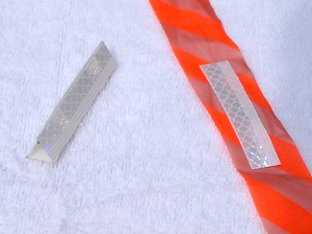
There are actually quite a variety of high-intensity reflective materials available. The material we are using is 3M Scotchlite Diamond Grade 983 reflective tape. A great deal of optical engineering has gone into this and related products, yielding a very high reflectivity even at low light levels (RA ~ 800 cd/lux/m2 at optimal angles) and good reflectivity at low angles from the reflective surface (RA ~ 300 cd/lux/m2 at 45 degrees). This material is also highly durable (seven to ten year life), meaning we should be able to reuse these reflectors for quite a few races.
We will be deploying reflectors as 1/2 in. x 3 in. strips attached to standard plastic flagging. This shape is similar to a glow stick
Pacing the 2009 Hardrock 100
Written by Bruce R. Copeland on July 16, 2009
Tags: aid station, belly lamp, elevation, hardrock 100, headlamp, lottery, pacer, races, ultrarunning, wait list
2009 was supposed to be my year to run the Hardrock 100. Alas it was not to happen. I was position 32 on the wait list after the lottery in early February. Over the next 5 months I advanced to position 5. Based on past years, my chances for getting into the race looked good. So we drove to Silverton, CO. Unfortunately this year, for the first time, no one on the wait list got in at the end of registration.
Frustrated, I decided to see if someone still needed a pacer. Ouray, 56 miles into the race and the lowest point on the course, seemed like a good place to look for a runner who might want a pacer. Sure enough around 8 PM Kirsten Thompson showed up looking for a pacer for her husband Sam Thompson, who was expected to arrive soon. I was careful to caution her that Sam is a lot faster than me, and I might not be able to keep up for the entire last 44 miles of the race. On the other hand, I climb well, have good skills on technical downhills, and lots of experience with night trail running. I was confident I could get Sam from Ouray to Telluride and probably to Chapman at a good pace. There also weren’t any other available pacers.
Sam and I left Ouray a little before 9 PM and headed up the trail through Box Canyon Park, which eventually spilled us out onto the Camp Bird Road. We power hiked this FS road almost 6 miles and 2800 feet up to the Governor Basin aid station. Along the way we saw a total of two trail markers
Annual Snow Trek to Logan Peak—Preview of Logan Peak Trail Run
Written by Bruce R. Copeland on May 31, 2009
Tags: logan peak, races, ridge running, snow, syncline trail, trails
This morning it was time for the annual snow trek to Logan Peak. The run begins and ends at the old quarry half way up Providence Canyon. Participants this year were Ron Stagg, Leland Barker, Scott Datwyler, and myself.
As we headed east up Providence Canyon at 6:30 AM, the creek was flowing over the entire jeep road. Clearly the snow is melting fast! About half a mile further up the road, we hit snow, which continued to the top of the canyon. Although temperatures were in the high forties, the snow in the canyon bottom was good and firm. About halfway up the remainder of the canyon, we encountered a place where an ATV had recently been ‘mudding’ the side of the canyon. I shot a couple of photos to document this for the Forest Service and the Bear River Watershed Council
Racing the 2009 Buffalo Run
Written by Bruce R. Copeland on March 29, 2009
Tags: antelope island, energy gel, hypoglycemia, races, ultrarunning
The 2009 Antelope Island Buffalo Run was a great success! Jim Skaggs, the race director, once again put on an outstanding event. This year Antelope Island State Park allowed uncapped registration, and there were nearly 500 runners spread amongst the 25K, 50K, and 50 mile distances—great for competition! The trails were in good shape, and the weather was perfect for running (very fortuitous considering that today we have a blizzard with near whiteout).
I went into this race seriously undertrained for the 50 mile distance (there still isn’t more than 15 miles of trail open anywhere here in Cache Valley). Nevertheless I managed to knock 26 minutes off my time for last year by using a new fueling strategy. It seems that my fat burning rate isn’t very high (I’ve been borderline hypoglycemic all my life). So to compensate for this, I consumed three carbohydrate gels per hour for the last 6-7 hours of the race. This strategy worked well, and I was able to comfortably
Spring Training in Moab
Written by Bruce R. Copeland on March 20, 2009
Tags: navigation, map, compass, races, heat acclimation, moab, gold bar, golden spike, poison spider, trail, training, ultrarunning, water bladder
With the Buffalo Run 50-mile only two weekends away and most trails in northernmost Utah far too muddy, it seemed like a good time to head to Moab for some heat acclimation training. The plan was to run the Gemini Bridges road, Gold Bar Trail, Golden Spike Trail, and Poison Spider Trail—the same route used for the Red Hot Moab 33k.
We arrived in Moab at 9:00 in the morning. After a fortuitous encounter with Chris Martinez at the start of the Gemini Bridges road, my sled dog Chilli and I set off. I began with a 70 oz water bladder and two full 24 oz water bottles.
It was a pleasant 4 mile climb along the Gemini Bridges road. We then turned onto the Gold Bar Trail, which is reasonably easy to follow all the way out to the east overlook. At that point Gold Bar becomes the Golden Spike Trail heading south. Golden Spike is difficult to follow because
100 Mile Race Sizes: Can Service/Trail Work Requirements Help?
Written by Bruce R. Copeland on February 19, 2009
Tags: race director, races, service requirement, trail work, ultrarunning, volunteers
This is the second of two articles that examine ways to increase the maximum field sizes for 100 mile trail races. In the first article I noted three main factors which limit the maximum sizes of 100 mile mountain trail races: trail impacts, availability of race volunteers, and aid station parking/road congestion. The first article focused on limiting crew (somewhat) as a way to control aid station parking/road congestion and thereby allow larger race sizes. I also noted that trail impacts really SHOULD NOT be a huge issue limiting 100 mile race size because of the amount of trail work that ultrarunners do. Here I want to take a closer look at how service and/or trail work requirements affect 100 mile race volunteership, and to some extent trail impacts.
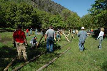
A multi-group work project (courtesy http://www.brwcouncil.org)
100 Mile Race Sizes: Is It Time to Limit Crew?
Written by Bruce R. Copeland on February 09, 2009
Tags: crew, lottery, pacer, race director, races, trails, ultrarunning
This article is the first of two articles which examine ways to increase the maximum field sizes for 100 mile trail races. Three main factors limit the maximum sizes of 100 mile mountain trail races: trail impacts caused by runners (as determined typically by public land managers), availability (and access) of race volunteers, and aid station parking/road congestion associated with runner crews (see e.g. Sherpa John’s interview with Massanutten RD Stan Duobinis in “Are Lotteries Really Fair?”)
Of these factors, trail impacts should generally be the least significant. Trail runners—especially 100 mile trail runners—perform far more trail work than any other class of trail user, even when adjusted for trail mileage. This is a point we must continually reinforce in the minds of public land and forest managers. In the second of these two articles, I will address some aspects of service/trail work requirements and race volunteers as they affect maximum race size. Here I want to focus on the use of crew by runners and its relationship to maximum race size.
There are really two different components of crew: pacers and motorized food/equipment/medical support that travels from aid station to aid station. These two components have overlapping, but different, impacts on races. Pacers contribute (slightly) to trail damage, and depending on race rules may raise the number of aid station supplies and volunteers needed. Commonly, pacers also rely on motorized access to aid stations, but this doesn’t necessarily need to be the case. Motorized support crew contribute to aid station congestion, parking congestion, and sometimes traffic congestion on access roads. This latter can be an especially significant problem when cars share the road with runners (e.g. the 2-3 miles before Upper Big Water aid station at Wasatch)


